Energy · Utilities · Oil and Gas
Drone fleet operations for critical infrastructure
AirData centralizes your flight data, manages your fleet across multiple sites, and pulls the compliance reports your program demands.
Trusted by leading energy operators managing critical infrastructure
Trusted by





























The platform behind serious energy drone programs
Energy drone programs operate under some of the strictest requirements in any industry, including advanced operational authorizations like BVLOS, multi-site fleets, maintenance documentation, and regulatory reporting that doesn't stop. AirData automates the data capture and compliance workflows so your pilots focus on flying, and your administrators always have what they need.
Electric Utilities
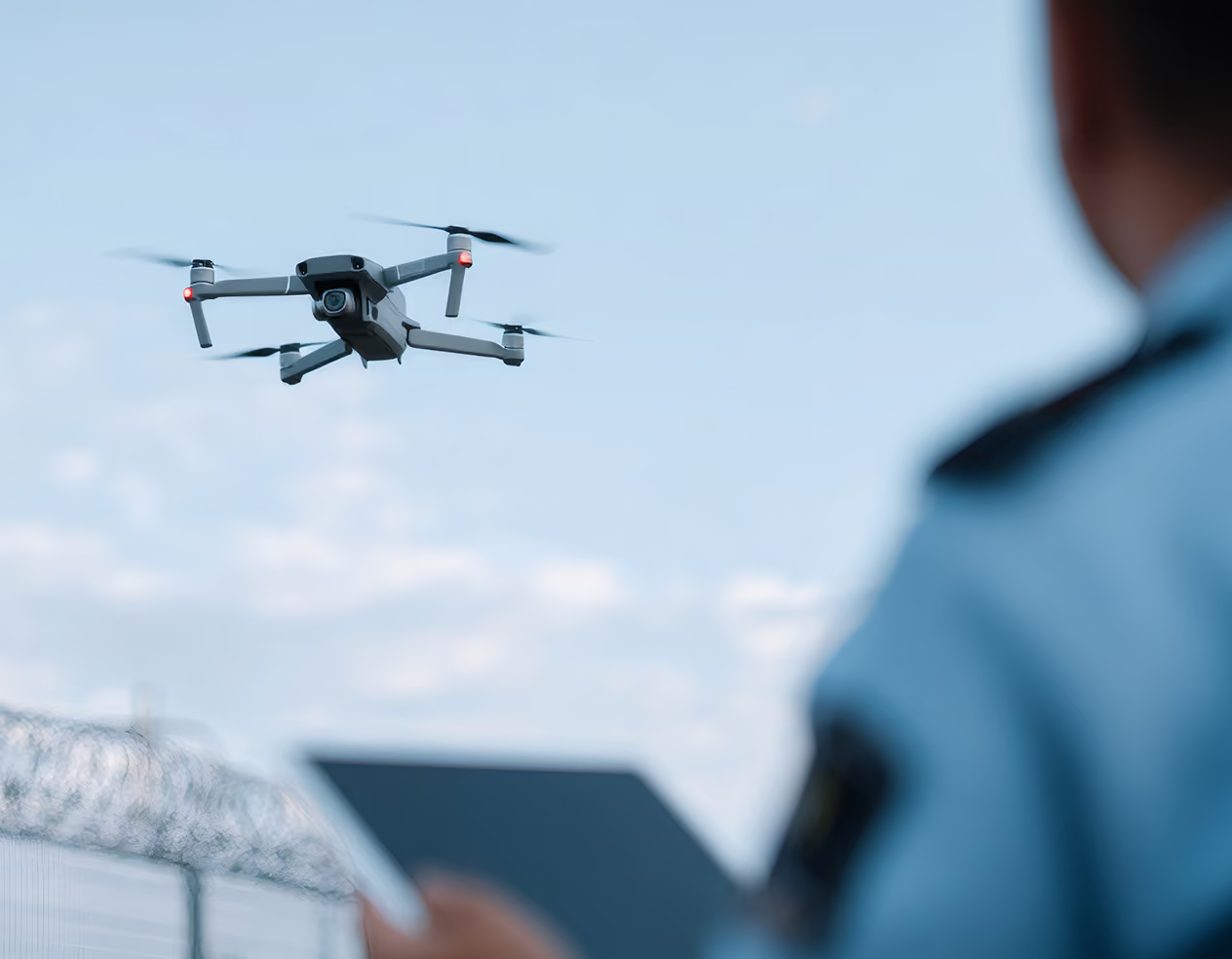
Regulatory Compliance and Authorizations
•
Flight logs automatically capture telemetry, participant records, and equipment histories required by regulatory and governing bodies worldwide, including advanced operational authorizations like BVLOS
•
Maintenance events trigger automatic service records and functional flight test documentation for post-service compliance
•
Customizable pre- and post-flight checklists linked to every flight and stored with the log
•
All records exportable on demand for regulatory review
Electric Utilities
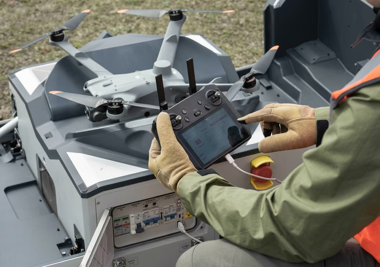
Transmission and Distribution Programs
•
Flight logs sync automatically from the controller, flight app, or cloud. No manual entry required
•
Mobile app works without cell service. Checklists and flight logs sync automatically
•
Mission planning with KML upload for inspection corridors and routes
•
LAANC authorization built in via CAL Analytics, an FAA-approved provider
•
Pilot assignments, checklists, and mission records stored together for every operation
Electric Utilities
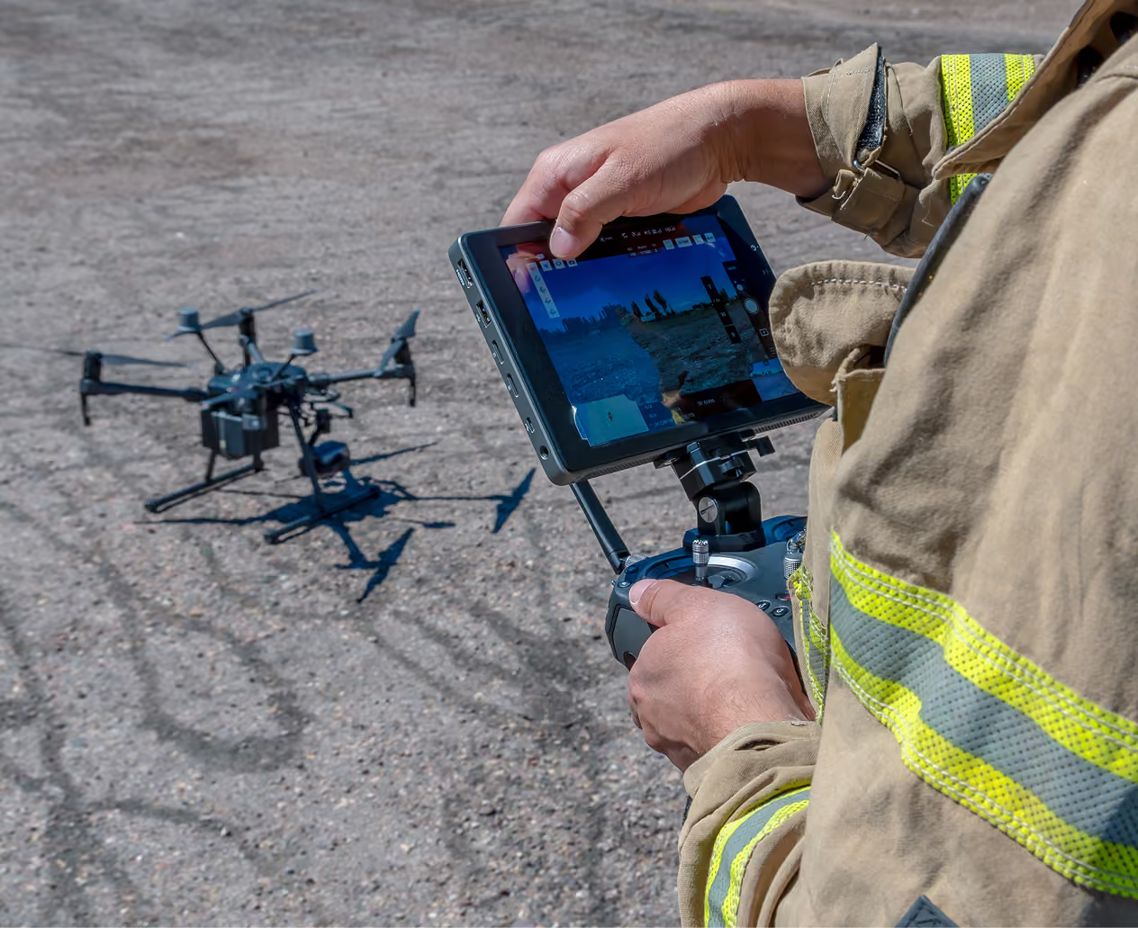
Fleet and Maintenance Management
•
Maintenance schedules by flight hours, cycle count, or calendar date for every aircraft and battery
•
Automated alerts before service windows are missed
•
Document upload for service records, certifications, and manufacturer compliance
•
Per-pilot flight activity tracking and role assignment across your team
Electric Utilities
Compliance Reporting and Audit Readiness
•
Reusable report templates by pilot, aircraft, date range, or mission type
•
Equipment and maintenance reports exportable for regulatory submissions or internal reviews
•
3D flight playback with timestamped stick inputs for incident investigation and audits
•
REST API for integrating flight and equipment data with your CMMS or GIS
.avif)
Electric Utilities
Live Streaming and Situational Awareness
•
Sub-1-second latency live video to any browser
•
Compatible with any drone brand and flight app on any device supporting third-party mobile apps
•
Stream directly from the AirData mobile app. No additional hardware required
•
Multiview player automatically adds feeds as pilots go live
•
Share via unique links, QR codes, or PIN-protected access
Oil and Gas
Pipeline and Corridor Documentation
•
Flight logs auto-sync from the controller, flight app, or cloud. No manual entry required
•
Define and re-run inspection routes with each flight logged against consistent mission parameters
•
Mobile app works without cell service. Checklists and flight logs sync automatically
•
Export flight paths as KML for GIS analysis and route documentation
Oil and Gas
Emissions Inspection Documentation
•
Every emissions inspection flight logged with timestamped records, pilot data, and checklist results
•
Reusable report templates generate inspection records by site, date, or aircraft on demand
•
Emissions inspection programs require documented, audit-ready records. AirData structures your flight data to support those submissions wherever you operate
•
Audit-ready records exportable for regulatory or client review
Oil and Gas
Confined Space and Offshore Programs
•
Native Flyability Elios integration for GPS-denied confined space inspections: tanks, vessels, and internal structures
•
Elios flight logs are uploaded and processed in AirData alongside all other aircraft in your fleet
•
Mobile app works without connectivity, critical for remote offshore and industrial sites
Oil and Gas
Multi-Site Fleet and Contractor Management
•
Fleet-wide insight into pilot activity, aircraft status, and maintenance readiness across all sites once flights sync
•
Organizations feature groups pilots, aircraft, and missions by team or location for program-wide visibility
•
Automated maintenance alerts prevent downtime on active campaigns
•
Generate KPI reports by site, client, or mission type without manual data entry
Oil and Gas
Incident Investigation and Accountability
•
3D flight playback with timestamped stick inputs. An impartial forensic record for every flight
•
Supports thermal aircraft including DJI M30T, Matrice 4T, and Teledyne FLIR SIRAS. Thermal flight data logged alongside all other telemetry
•
Flight data serves as an on-demand black box for incident review, insurance claims, and client reporting
•
Export flight paths as KML for 3D reconstruction in Google Earth or GIS
Connect your fleet. AirData handles the rest
AirData works with the aircraft, controllers, and flight apps your team already uses. No new hardware, no changes to how your pilots fly.
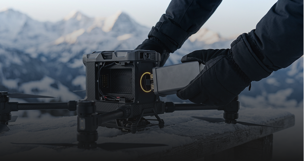
01 Connect Your Fleet
Syncs flights from 180+ drones and apps across every major manufacturer. No hardware changes, no switching flight apps.
02 Every Flight, Automatically Logged
Full telemetry syncs after each flight: altitude, position, pilot, conditions, and control inputs. The mobile app works without cell service and syncs automatically.
03 Maintain Your Fleet
Maintenance schedules by flight hours, cycles, or date. Automated alerts before service windows are missed. Pilot certifications and document expiration dates tracked in one place.
04 Pull Any Report, On Demand
Reusable compliance report templates by pilot, aircraft, or date range. REST API exports to your CMMS or GIS. Audit-ready at any time.
Built for the aircraft and systems your program already operates
AirData syncs flights from 180+ drones and apps. No hardware changes required.
.avif)
Above-Ground Infrastructure Inspection
Full flight log sync, maintenance tracking, and compliance reporting for above-ground inspection programs across DJI, Autel, Skydio, and Teledyne FLIR aircraft.

Supported Aircraft: DJI Matrice 3TD; DJI Matrice 4T; DJI M30T, M300 RTK, M350 RTK; DJI Matrice 400, Matrice 4E; Autel EVO Max 4T, EVO Lite 640T Enterprise; Skydio X2, X10; Teledyne FLIR SIRAS, SkyRanger R70
Compatible Flight Apps: DJI Pilot, DJI Fly; Autel Explorer, Autel Sky; Skydio, DroneDeploy, Litchi, Drone Harmony
.avif)
Confined Space and GPS-Denied Environments
Native Flyability Elios integration for GPS-denied environments. Flight logs are uploaded and processed in AirData alongside the rest of your fleet.
Supported Aircraft: Flyability Elios 3; Flyability Elios 2; Flyability Elios; Flybotix ASIO PRO; Flybotix ASIO X
Compatible Flight Apps: Flyability Inspector (manual .LOG/.EFLY upload); QGroundControl
.avif)
Long-Range Corridor and Automated Monitoring
Supports fixed-wing, VTOL, and dock-based aircraft for corridor surveys and automated monitoring programs. Full telemetry logging and compliance documentation for every flight.
Supported Aircraft: Quantum Systems Trinity F90+, Trinity Pro; Wingtra WingtraOne, WingtraOne GEN II; Event 38 E400, E455; Freefly Alta X, Astro; DJI Matrice 3D, 4D Dock 3, 4TD Dock 3
Compatible Flight Apps: DJI GS RTK, DJI Pilot; UgCS, Pix4D, Drone Harmony, Dronelink; Mission Planner, QGroundControl, FlytBase

NDAA-Compliant Programs
AirData supports all major NDAA-compliant aircraft with the same automated logging, compliance documentation, and fleet management as any other aircraft in your program.
Supported Aircraft: Skydio X2, X10, Skydio Dock; Freefly Astro, Alta 6, Alta 8, Alta X; Parrot Anafi USA, Anafi USA Gov; Red Cat Teal 2; Teledyne FLIR SIRAS, SkyRanger R70
Compatible Flight Apps: Skydio; Parrot FreeFlight 6, DroneSense
Inside the platform
A centralized platform built for drone programs operating across energy infrastructure.
Flight Dashboard
Every flight logged with altitude, position, and pilot assignment. Searchable by any parameter.
Automated Flight Sync
Flights upload automatically. Full telemetry captured without manual entry.
Maintenance Tracking
Schedules by flight count, hours, or date. Automated alerts before windows are missed.
Compliance Reports
Regulatory reports on demand by pilot, aircraft, or date. Custom templates built to reuse.
LAANC Autorization
U.S. operators can request LAANC airspace authorization directly from the web portal or mobile app via CAL Analytics, an FAA-approved provider.
3D Flight Playback
Timestamped stick input replay. Impartial forensic record for incidents and regulatory audits.
Asset Management
QR-code check-in and check-out for all equipment with full historical ledger.
Add-on
Mission Planning
Custom mission types with KML upload. Checklists completable offline on mobile.
Enterprise
Live Streaming
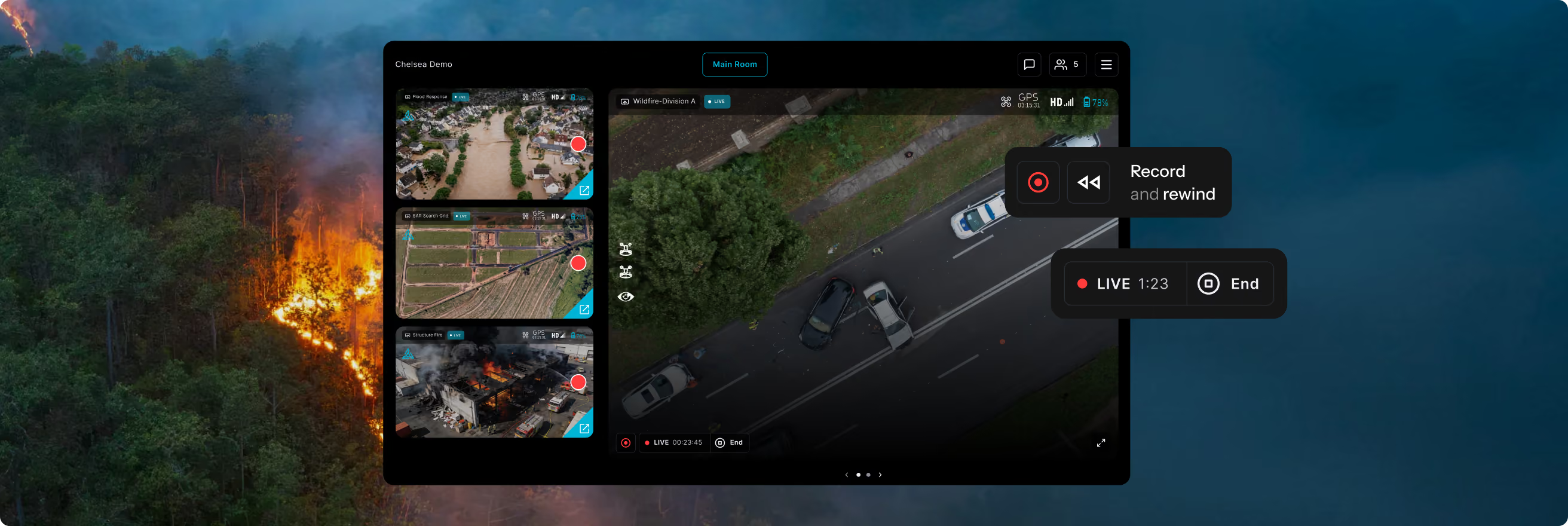
Sub-1-second latency to any browser. No hardware required. Used by SDG&E for patrols.
Add-on
What operators are saying
Implementing AirData has centralized our flight logging, compliance reporting, and maintenance tracking in an automated and proactive manner. This allows our pilots, technicians, and administrators to focus on their respective missions with confidence that regulations are being followed.

I was kind of letting AirData work in the background for me. The logs would go up to the cloud, we would view them later, and make a plan at weekly meetings. So it made us way more efficient despite our small size.
See AirData in action
PG&E Automates BVLOS Compliance with AirData
Case Study
Drone Program Efficiency in the Energy Sector
Webinar
AirData Joins the Commercial Drone Alliance
News
AirData Launches Asset Management Suite
Product Update
New Alerts, Flight Overlays, and LAANC Linking
Product Update
AirData and PG&E Partner for Drone Management
News
AirData Expands LAANC to All Users
Product Update
AirData Adds Remote ID Management
Product Update
AirTime with AirData
Resource
Common questions about drone program management for energy and utilities
Drone fleet management software centralizes the operational, compliance, and reporting workflows behind a utility drone program. For electric utilities, this means automating flight logging, advanced operational authorization documentation, airspace authorization, maintenance tracking, and regulatory reporting, replacing manual entry across multiple tools with a single platform that captures data automatically after every flight.
AirData automates the compliance documentation that advanced operational authorizations require, including aircraft activity logs with full telemetry, flight participant records, manufacturer-mapped maintenance schedules, functional flight test records, and customizable pre- and post-flight checklists. These records satisfy the requirements of regulatory bodies worldwide. PG&E, one of the first utilities in the U.S. to hold a BVLOS waiver, uses AirData to manage all of these requirements automatically.
AirData syncs flights from 180+ drones and apps used across energy programs, including DJI Matrice series (M30T, M300 RTK, M350 RTK, M400), Skydio X2 and X10, Flyability Elios 2 and 3 for confined space inspections, fixed-wing VTOL aircraft for long-range pipeline corridor surveys, and Teledyne FLIR thermal platforms. AirData works with the hardware your team already uses. No changes required.
Oil and gas operators use drone management software to log and document inspection flights across pipelines, storage tanks, flare stacks, and offshore platforms; manage multi-site fleets with pilots operating in remote or connectivity-limited environments; maintain audit-ready records for methane and emissions inspection regulations; track equipment maintenance across large fleets; and generate client-ready KPI reports without manual data compilation.
Yes. AirData's offline mode captures flight logs, checklist completions, and maintenance records locally on the device when connectivity is unavailable. All data syncs automatically to the platform when pilots return to internet access. This is critical for energy programs operating in remote pipeline corridors, wilderness utility rights-of-way, and offshore platforms where consistent connectivity cannot be guaranteed.
For U.S.-based pilots, AirData is integrated with CAL Analytics, an FAA-approved LAANC provider, available on all plans. Pilots can submit airspace authorization requests directly in AirData from mobile in the field, as part of a mission plan or as a standalone request. Airspace authorization requirements vary by country. AirData's mission planning tools support pre-flight documentation workflows regardless of the authorization framework your program operates under.
Yes. AirData built a native data integration with Flyability specifically for Elios confined space drones, including the Elios 3. Flight logs are uploaded and processed within AirData's compliance workflows, the same workflows used for outdoor programs. CAN-USA uses this integration to log hundreds of flights per offshore campaign and generate client KPI reports automatically.
AirData generates the documentation that drone programs need to satisfy their regulatory and governing body requirements, wherever they operate. This includes flight logs with full telemetry, pilot and participant records, maintenance histories, pre- and post-flight checklists, and exportable compliance reports. For U.S. operators, this directly supports Part 107, BVLOS waiver documentation, and Remote ID requirements. For international programs, the same structured records satisfy equivalent frameworks. AirData's regulatory reports and REST API allow operators to export data into their broader compliance management systems.
See AirData in your program
We will walk through how AirData fits your fleet size, aircraft types, and compliance requirements.