Fleet Intelligence
Know your aircraft, batteries, and pilots are cleared to fly.
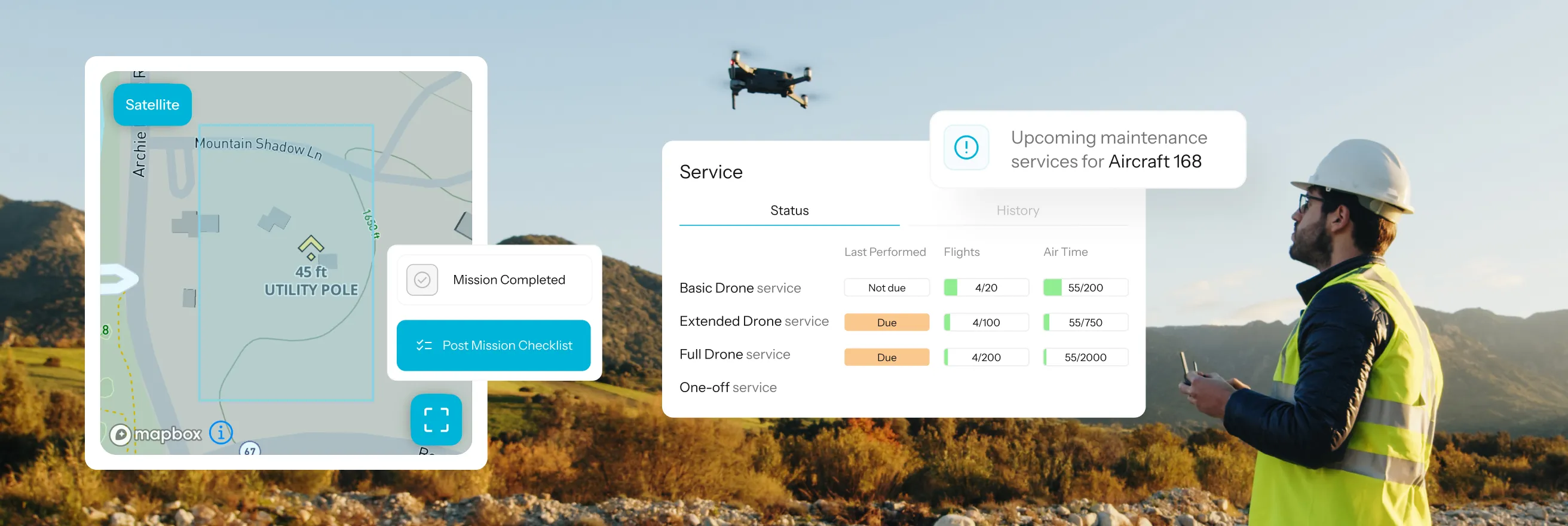
Aircraft health, maintenance, assets, and pilot credentials in one clear view, so there are fewer surprises before takeoff.







“AirData provides near-real-time field intelligence that enables us to monitor equipment usage trends, ensure regulatory compliance, and capture actionable insights that improve flight efficiency, crew resource management, and, most importantly, operational safety.”

“AirData has enabled us to elevate our program’s transparency to new heights, ensuring our community is always in the loop and fully aware of the benefits our UAS initiatives bring.”

Know what’s ready before the next flight.
See what’s ready, and what needs attention, across your whole operation.
Fleet health & maintenance
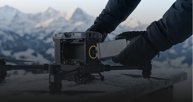
Aircraft and battery condition, plus what’s due before the next flight.
Cell-level battery analysis + usage-based maintenance

Voltage, temperature, and degradation trends
Service by flight hours, cycles, or dates
Mission planning
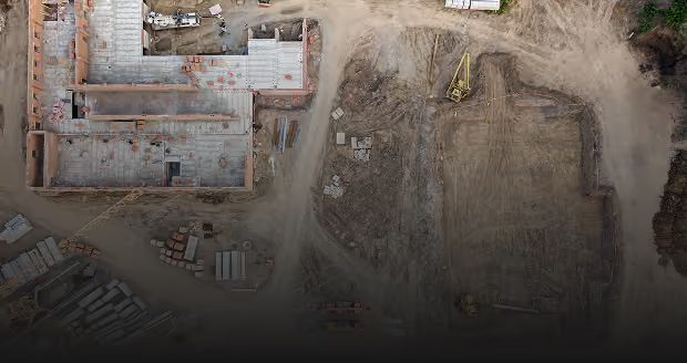
Plan the mission, assign the team, and keep the details together.
Areas, checklists, and approvals in one workflow
Define operating areas and review airspace
Assign pilots, aircraft, equipment, and roles
Asset management
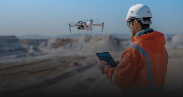
Know what equipment you have, where it is, and who is responsible for it.
QR-based tracking in the field
Check-in, location, and custody history
Defects, missing assets, and field updates

Pilot currency
Keep pilot qualifications current and visible across the operation.
880+ certificate types detected automatically
Pilot currency and expiration monitoring
Alerts before credentials need attention
Fleet health & maintenance
Keep the fleet ready for the work ahead.
AirData checks aircraft and battery performance after every flight and tracks maintenance by actual use, so service is planned before it affects availability.
•
Battery health: Track cell-level voltage, temperature, and degradation after every flight.
•
Usage-based maintenance: Schedule service by flight hours, cycles, or dates.
•
Service history: Keep inspections, repairs, and maintenance guidance with each aircraft.
Earlier battery insight is useful in:

Mission planning
Put the whole mission in place before takeoff.
Plan where, when, and with whom the operation happens. Flights link back to the mission for a complete record.
•
Define the operation: Set mission area, schedule, altitude, type, and airspace.
•
Assign the team: Add pilots, roles, aircraft, payloads, and equipment.
•
Standardize the workflow: Keep risk assessments, checklists, approvals, and documents together.
For U.S. operations: Request eligible LAANC airspace authorization directly within Mission Planning.
Asset management
Update equipment status from anywhere.
One QR scan links any piece of equipment to its assignment and custody history.
•
QR check-in/out: Assign and return equipment from the field.
•
Location and custody: See where assets are and who handled them.
•
Field updates: Track defects, missing assets, and status changes through resolution.

Pilot currency
Keep qualifications current across the operation.
AirData reads recognized certificates and alerts pilots and managers before credentials lapse.
•
Worldwide recognition: Automatically identify 880+ certificate types.
•
Certificate details: Capture issue dates, expiration dates, and registration numbers.
•
Expiration and currency: Alert teams before renewals and keep qualifications visible.
Recognized certifications include Part 107, EASA, A2 CofC, and more.

Megilot Rescue Drone trusts AirData to keep its fleet airworthy.

Questions about Fleet Intelligence
It answers the question that matters most: what is ready to fly, and what needs attention? AirData brings the condition of your fleet into one view, so you can deal with an issue before it changes the day’s plans.
After every flight, AirData looks at the performance of each battery cell, not only the number of charge cycles. Changes in voltage, temperature, and long-term degradation can surface early, giving you time to investigate before a battery affects availability.
Every uploaded flight keeps the aircraft’s service timeline up to date. Maintenance can be scheduled by flight hours, cycles, or calendar dates, and completed work stays connected to that aircraft for future reference.
Yes. A pilot or technician can scan an AirData QR code to check equipment in or out and update its status from a phone. AirData keeps the latest information with the asset, giving the rest of the team a current view without waiting for someone to update a separate record.
Upload or email a certificate and AirData can recognize 880+ document types worldwide. When a document is supported, AirData captures the relevant details and alerts the right people before it expires.
In most cases, without changing how your pilots fly. AirData works with 180+ drone types from 40+ manufacturers and 60 flight apps, including DJI, Autel, Skydio, Parrot, and Freefly. You can check the supported aircraft and apps list to confirm your exact setup.


Fly solo or manage a fleet.
Choose the plan that fits without changing the equipment or apps you already use.